


Over the past few years, architects, engineers, and urban planners have been quietly moving toward a future built around 3D data. What once required slow hand measurements and rough sketches now comes from lasers, sensors, and intelligent software.
This shift is happening quickly because the tools have matured and cities and construction projects are becoming more complex. High detail matters, accuracy matters, and the ability to make decisions before anything gets built matters even more.
Meanwhile, researchers have been racing to improve the quality of raw 3D capture. These advances are turning 3D data from a specialist tool into a standard requirement. Here’s a closer look at the state of play, and where things are headed with this tech in the driving seat.
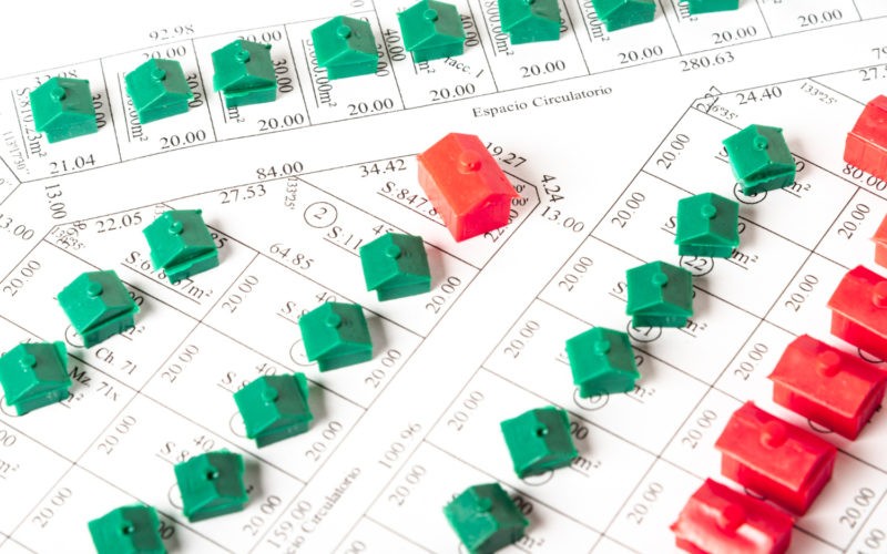
Why Architecture and Engineering Need Better 3D Models
Architecture is not just about aesthetics. It is also about precision, safety, and fitting new ideas into existing spaces. Engineers need the same level of clarity, especially when dealing with construction sequencing, mechanical routing, or infrastructure maintenance. That is why 3D data has become a foundation rather than an add-on. It gives everyone a clear picture before construction starts.
A lot of inspiration also comes from imaging research. For instance, researchers publishing on ScienceDirect explored new ways to reconstruct building geometry with airborne LiDAR and machine learning. These kinds of studies keep raising expectations for what is possible in day to day practice. Teams that have never used LiDAR before now rely on it to reduce errors and shorten project timelines.
Here are a few ways 3D data is changing everyday project work:
- Faster site documentation with fewer return visits
- Clearer coordination between architects, engineers, and contractors
- Better forecasting of material needs and construction risks
Within this movement, the role of the point cloud camera has grown as well. Tools like this provide detailed 3D scans that feed directly into modeling workflows. Projects where speed, clarity, and accuracy matter require this level of functionality and convenience.
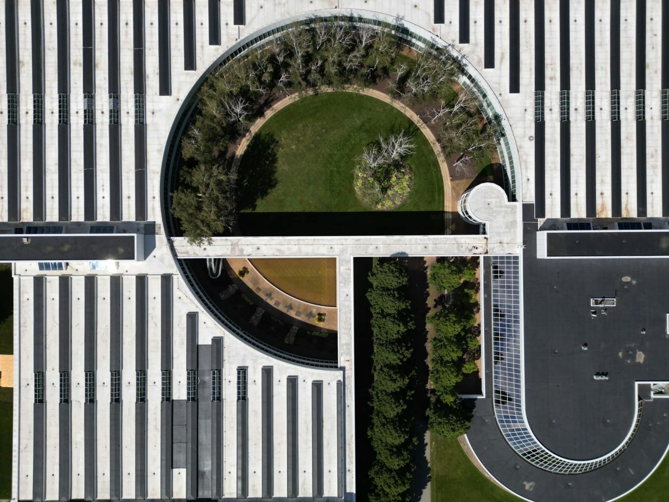
Urban Planning Enters Its 3D Era
Urban planning has always depended on maps, zoning layers, and traffic counts. But modern cities demand more. They grow vertically, not just horizontally, and planners need tools that reflect that. Three-dimensional city models allow planners to test new transit ideas, simulate shade from tall buildings, and explore emergency response routes long before they become reality.
LiDAR, SAR, and optical imagery are now used to create more accurate urban maps. This helps planners understand terrain, building massing, and natural features at an unprecedented resolution. Some teams have even experimented with elevated LiDAR systems to improve traffic object detection. In short, the community is fully behind the move toward smarter, data-driven cities.
Digital Twins Become Standard
Digital twins are no longer futuristic. Cities and private developers now use them to model operations in real time. They integrate 3D geometry, sensor data, weather inputs, and traffic simulations. With this information in one place, planners can predict how a single change ripples through an entire district. That might mean testing a bike lane or exploring how a new tower affects wind patterns. Without accurate 3D data, these simulations fall apart.
AI Helps Make Sense of the Mess
Collecting 3D data is easy. Making sense of it is another story. Raw point clouds are messy and dense. They need classification, cleanup, and interpretation. This is where AI steps in, having already transformed creative work in other fields. The growing reliance on AI to process LiDAR for smart mobility and infrastructure planning is well known, and the trend is clear. Cities now expect automation to help keep up with the sheer volume of information.
The Growing Market Behind the Technology
The rise of 3D data is not just a research trend. It has become a full industry. Rapid growth in point cloud processing tools and scanning hardware occurred throughout 2024 and 2025. Demand comes from architecture firms, engineering companies, infrastructure agencies, and city governments. They all need the same thing. Fast and reliable access to precise 3D information.
Several factors are driving this growth:
- The need to shorten construction timelines
- The push for more resilient and connected cities
- The shift toward digital collaboration models
Another major driver is regulation. Many cities now require digital documentation of public projects. Some even mandate BIM for large developments. Since BIM systems work best with accurate 3D scans, the adoption of point cloud technology continues to climb.
Where Things Are Headed Next
Looking ahead, the biggest leap will come from automation. As AI powered tools become easier to use, teams will move from slow manual scanning workflows to quick capture and cloud processing. Buildings will get scanned automatically, either from the ground or from aerial systems. Urban models will update continuously instead of once every few years. Even small firms will have access to the kind of 3D clarity once reserved for large engineering firms.
We may also see new forms of collaboration. Instead of architects working in a single modeling platform, teams will share live 3D environments that simulate changes on the spot. A building shape might adjust in real time based on structural input or environmental feedback. These workflows will feel normal within the decade.
In the meantime, professionals who adopt 3D data early will have a clear advantage. The tech saves time and reduces errors, but it also unlocks better creative decision making. The more you can see, the better you can plan.