


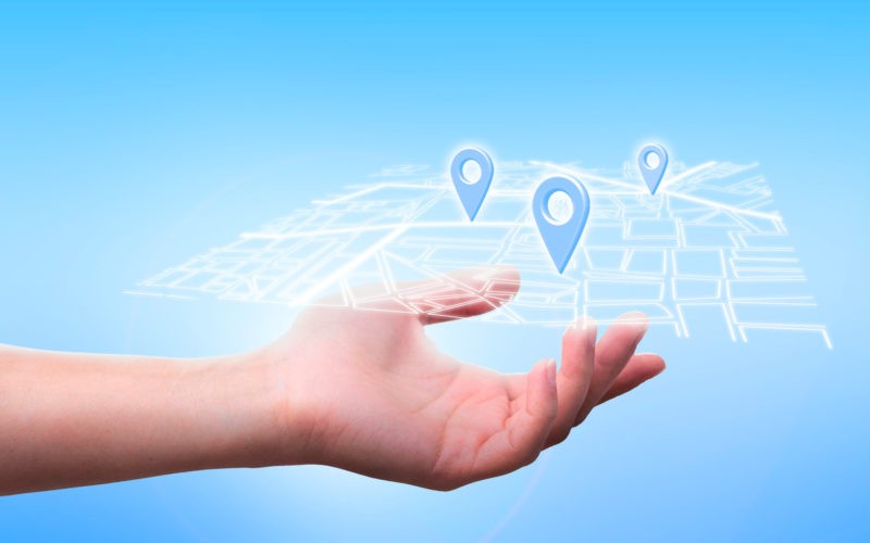
When most people think of geocoding APIs, their thoughts naturally gravitate towards traditional maps and navigation. However, the capabilities of geocoding API extend far beyond these conventional applications. It transforms addresses into geographic coordinates, enabling a wide array of diverse uses across various domains. The purpose of this article is to delve deeper into the versatility of geocoding API applications, demonstrating its vast potential for innovation and problem-solving.
The first thing that must be understood about geocoding API is that it’s a tool, and like any tool, its utility is only limited by the vision and creativity of the user. Its core function is to convert physical addresses into geographic coordinates, but this is merely the tip of the iceberg. With this fundamental capability, geocoding API can be employed in a myriad of ways, each one tailored to suit a specific need.
This versatility has led to a broadening of the horizons of geocoding API applications, as developers and entrepreneurs push the envelope to explore unconventional yet highly effective uses. From eCommerce and real estate to weather forecasting and wildlife conservation, geocoding API is proving itself to be a game-changing technology that goes beyond traditional mapping and navigation.
Industry Integration: How Geocoding API is Weaving Itself into Various Business Sectors
The power of geocoding API is not limited to its diverse applications; it’s also making significant inroads into various business sectors. This integration is driven by the need for data-driven decision making, a trend that continues to gain momentum in the corporate world. By transforming addresses into geographic coordinates, geocoding API provides businesses with a wealth of geospatial data that can be leveraged to drive strategic decision making.
In the retail sector, for instance, geocoding API is being used for site selection and market analysis. Retailers can use geospatial data to identify potential store locations, understand market demographics, and predict consumer behavior. In the logistics and supply chain industry, geocoding API is being used for route optimization, ensuring that goods are delivered in the most efficient manner possible.
The real estate industry is another sector where geocoding API is making a significant impact. By converting addresses into geographic coordinates, real estate professionals can visualize property data on a map, making it easier to analyze market trends and make informed investment decisions. Similarly, in the insurance industry, geocoding API is being used for risk assessment, helping insurers to accurately determine the risk associated with a particular location.
Creative Solutions: Unconventional Uses of Geocoding API in Innovative Digital Projects
The true power of geocoding API lies in its ability to inspire and facilitate innovative digital projects. By thinking outside the box, developers and entrepreneurs have been able to leverage the capabilities of geocoding API in surprising and unconventional ways.
Take, for instance, the world of gaming. With geocoding API, developers can create location-based games that integrate the real world with the virtual. This adds a whole new layer of interaction and engagement, providing players with a unique gaming experience. It’s not just limited to entertainment; educational apps can also use geocoding API to create interactive learning experiences that combine geography with subjects like history, science, and culture.
Another unconventional use of geocoding API is in the domain of public safety. By transforming addresses into geographic coordinates, emergency response teams can quickly locate incidents and dispatch assistance. This can be particularly valuable in rural or remote areas, where traditional mapping may not provide sufficient detail.
Social and Environmental Impact: Geocoding API Contributions to Community and Ecology
Finally, it’s important to acknowledge the social and environmental impact of geocoding API. By transforming addresses into geographic coordinates, it’s possible to map and analyze a wide range of socio-economic and environmental data. This can be used to drive policy decisions, promote social equity, and protect the environment.
For instance, geocoding API can be used to map poverty rates, educational attainment, and health outcomes, helping policymakers to identify areas of need and target resources more effectively. It can also be used to map environmental data, such as air quality, deforestation rates, and wildlife populations, providing valuable insights for conservation efforts.
In conclusion, the potential applications of geocoding API extend far beyond traditional mapping and navigation. Whether it’s driving data-driven decision making in business, facilitating innovative digital projects, or contributing to social and environmental well-being, geocoding API is a powerful tool that’s transforming the way we understand and interact with the world.